How to Take a Self-Guided Historic Tour Using Your Phone
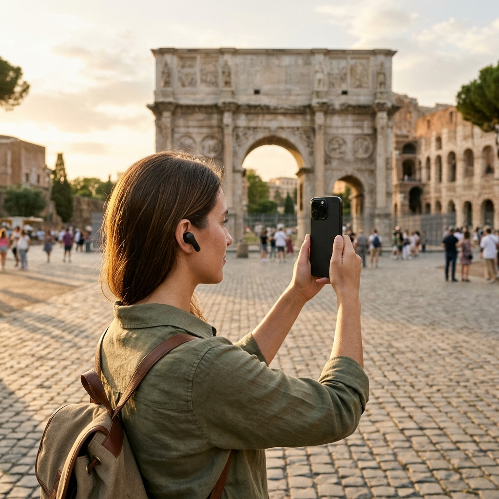
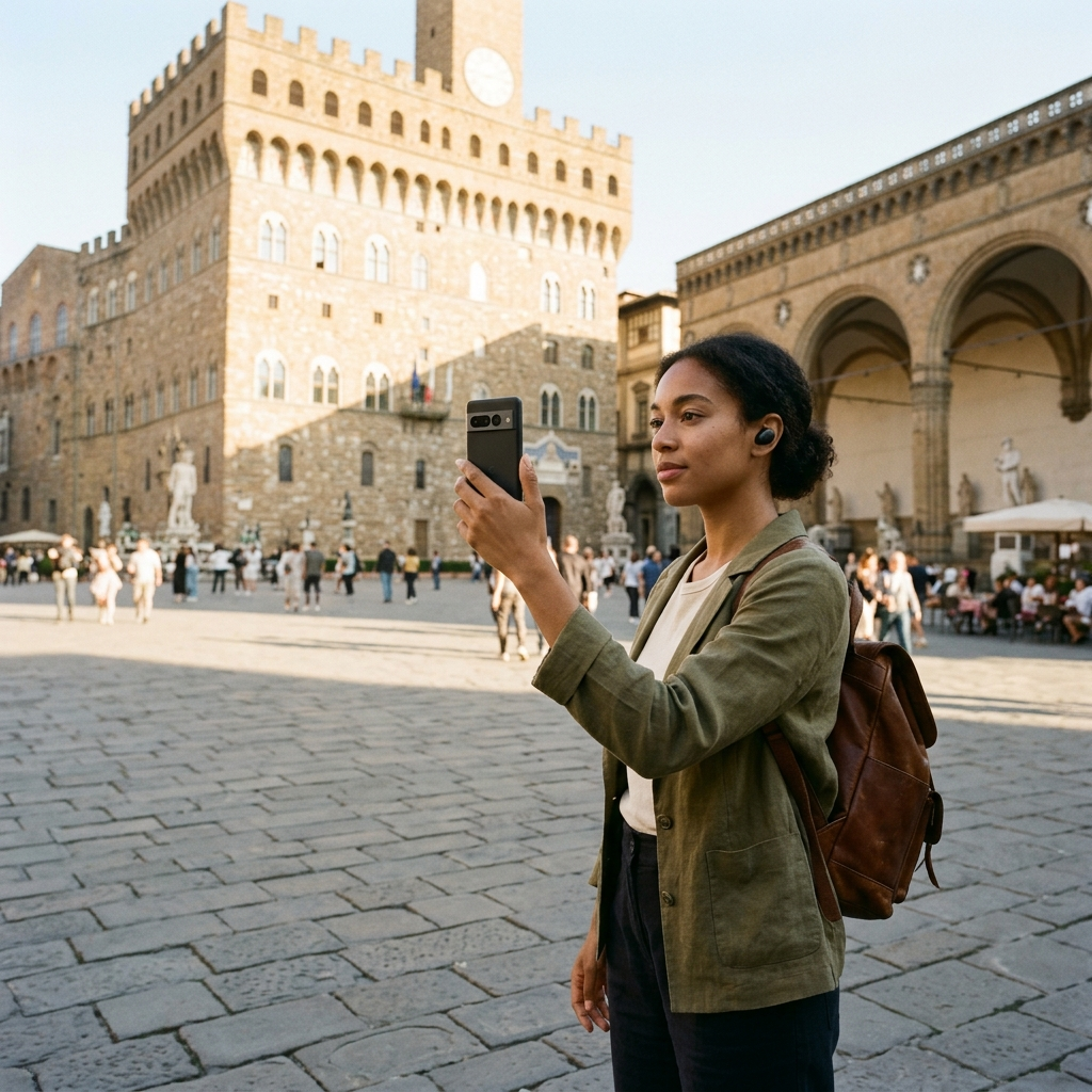
Taking a self-guided historic tour using your phone involves three key steps: building an organized route of verified landmarks, using visual recognition to identify unknown structures on site, and enabling voice narration for hands-free context while walking. With a travel guide app such as Aitour: AI Travel Guide, you can replace fixed group schedules with flexible exploration of historic architecture and heritage sites.
The Structural Friction of Traditional Walking Tours
Organized group walking tours often require trade-offs. Fixed meeting times, rigid paces, and crowded sidewalks make it difficult to inspect architectural details or spend extra time at sites that interest you. Conversely, organizing independent tours with standard web searches or paper maps brings other challenges: outdated pins, fragmented descriptions, and the inconvenience of pausing on busy sidewalks to read text on a reflective screen.
A smartphone equipped with dedicated travel tools addresses these friction points. By integrating location mapping, image recognition, and text-to-speech narration, mobile apps deliver relevant historical background directly on site. This approach allows you to set your own pace, itinerary, and depth of discovery.
Phase 1: Curating and Sequencing Your Historic Route
An effective historic walking tour relies on geographic coherence rather than random wandering. Without deliberate planning, crossing back and forth between disparate heritage markers causes fatigue and consumes valuable time.
Structuring a Cohesive Itinerary
Begin by exploring the catalog of points of interest (POIs) in your app. Aitour provides a categorized database of landmarks viewable in grid or list formats, supported by full-text search across titles and descriptions. Rather than selecting sites at random, build a thematic or chronological route—such as civic architecture, fortification remains, or industrial landmarks.
- Search and Filter: Locate heritage structures within a specific district using keyword searches and catalog categories.
- Save to Collections: Add potential stops to your favorites for quick retrieval.
- Create a Dedicated Trip: Create a named trip to gather your selected points of interest into a single itinerary.
- Optimize the Sequence: Use drag-and-drop ordering to arrange destinations sequentially, minimizing backtracking between streets.
Key Takeaway: Organizing landmarks into a named trip with an intentional geographic sequence prevents navigation confusion and keeps your attention on the sites.
Phase 2: Navigating with Real-Time Spatial Awareness
Once on site, spatial orientation is critical—particularly in historic quarters where narrow alleys, stone paths, and pedestrian plazas deviate from standard street grids.
Use an interactive map interface to track your position relative to nearby monuments. In Aitour, Google Maps integration displays catalog POI markers across the area. By monitoring your active location on the map, you can check the walking distance to your next stop. Tapping markers opens quick previews, allowing you to confirm that a structure matches your target destination before you walk toward it.
Interface adaptations also assist in the field. When touring in low light or viewing illuminated monuments in the evening, enabling dark mode reduces glare and conserves battery. For locations with limited cellular service, offline access ensures your mapped stops and POI descriptions remain available.
Key Takeaway: Use interactive map markers and quick previews to maintain orientation in dense historic areas, and rely on offline functionality when visiting low-reception corridors.
Phase 3: Visual Identification for Unmarked Monuments
Historic districts frequently feature uncataloged statues, crests, facades, and memorial plaques that lack descriptive markers. Attempting to identify these items through manual web searches is slow and often inaccurate.
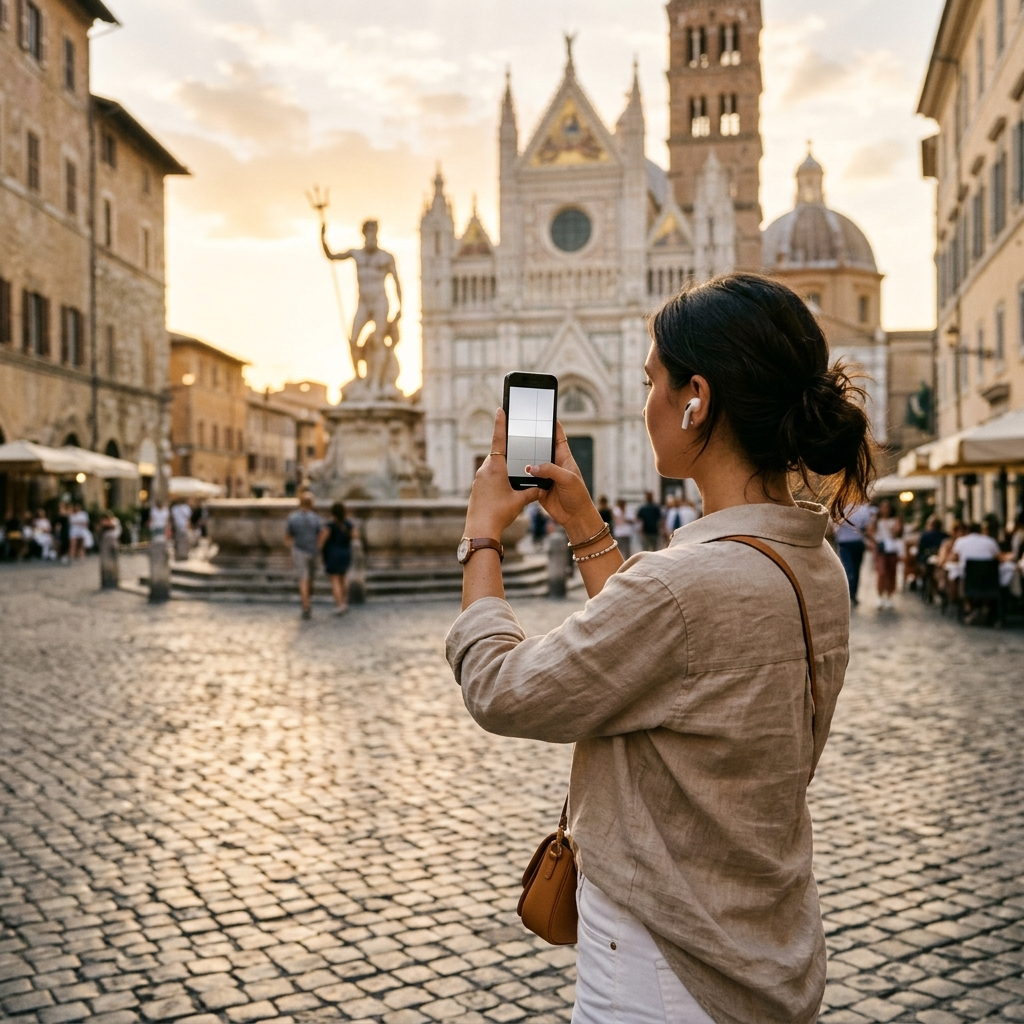
Visual AI recognition addresses this by using your smartphone camera for rapid identification. Aitour includes an AI Landmark Scanner that matches images against its catalog of points of interest:
- Instant Photo Recognition: Take a photo of an unfamiliar building facade, fountain, or monument to view its identity and background details.
- Gallery Video Scanning: If you recorded footage earlier, select the video from your gallery; the app recognizes the landmark from the video thumbnail and retrieves the corresponding entry.
- Direct Place Details: Recognition opens the full POI page directly, skipping manual search steps.
Key Takeaway: Use visual scanning tools to identify unmarked architectural elements and monuments in real time without manual search queries.
Phase 4: Engaging with Audio Narration and Interactive Inquiries
Reading from a screen while navigating active pedestrian routes can be inconvenient and distracts from viewing the surrounding architecture. A self-guided tour benefits from prioritizing listening over reading.
Aitour provides a text-to-speech feature on POI detail pages that reads descriptions aloud, allowing you to observe stone masonry, rooflines, and physical plaques directly. For walking segments, the Live Tour Guide offers voice-guided walking tours powered by AI, delivering narrated context through your headphones as you move between destinations.
When a standard description does not cover a specific question—such as an architect's background or construction material—use the Ask AI option on the place page to query details directly from the site profile without leaving the app.
Key Takeaway: Use hands-free audio narration to keep your attention on the physical landmarks, and consult in-app AI queries for specific historical details as you walk.
Essential Preparation Checklist for Mobile Historic Tours
Conducting an independent phone-based tour runs smoothly with straightforward preparation before heading out. Keep these practical steps in mind:
- Audio Equipment: Use compact headphones or earbuds so you can hear tour narrations while staying aware of street traffic and surroundings.
- Power Management: Screen time, camera scanning, and active GPS use increase battery consumption. Carry an external power bank and a charging cable for extended walking days.
- Offline Access: Confirm your trip itinerary and landmark details are accessible offline before entering areas with inconsistent cellular coverage.
- Route Flexibility: Keep additional POIs saved in your favorites so you can easily modify your route if a site is inaccessible or closed.
Key Takeaway: Adequate battery reserves, suitable audio gear, and offline preparation ensure uninterrupted navigation during extended walking tours.
Mastering Independent Heritage Exploration
Modern mobile tools provide the resources needed to conduct structured historic tours on your own schedule. By combining Aitour's trip-building tools, interactive mapping, AI landmark scanning, and voice narration, you gain the depth of an organized excursion alongside the flexibility of independent travel. Set your route, put in your headphones, and explore historic sites at your own pace.